
William D’Souza, a 55-year old farmer from Kuthethur, Mangalore was busy mixing cattle feed when we arrived at his doorsteps. Around 25 km from the bustling city of Mangalore, Kuthethur is a lush green village with thick vegetation. On the way to William’s house the idyllic view gets blocked by the flares and smoke arising from the Mangalore Refinery and Petrochemicals Limited (MRPL).
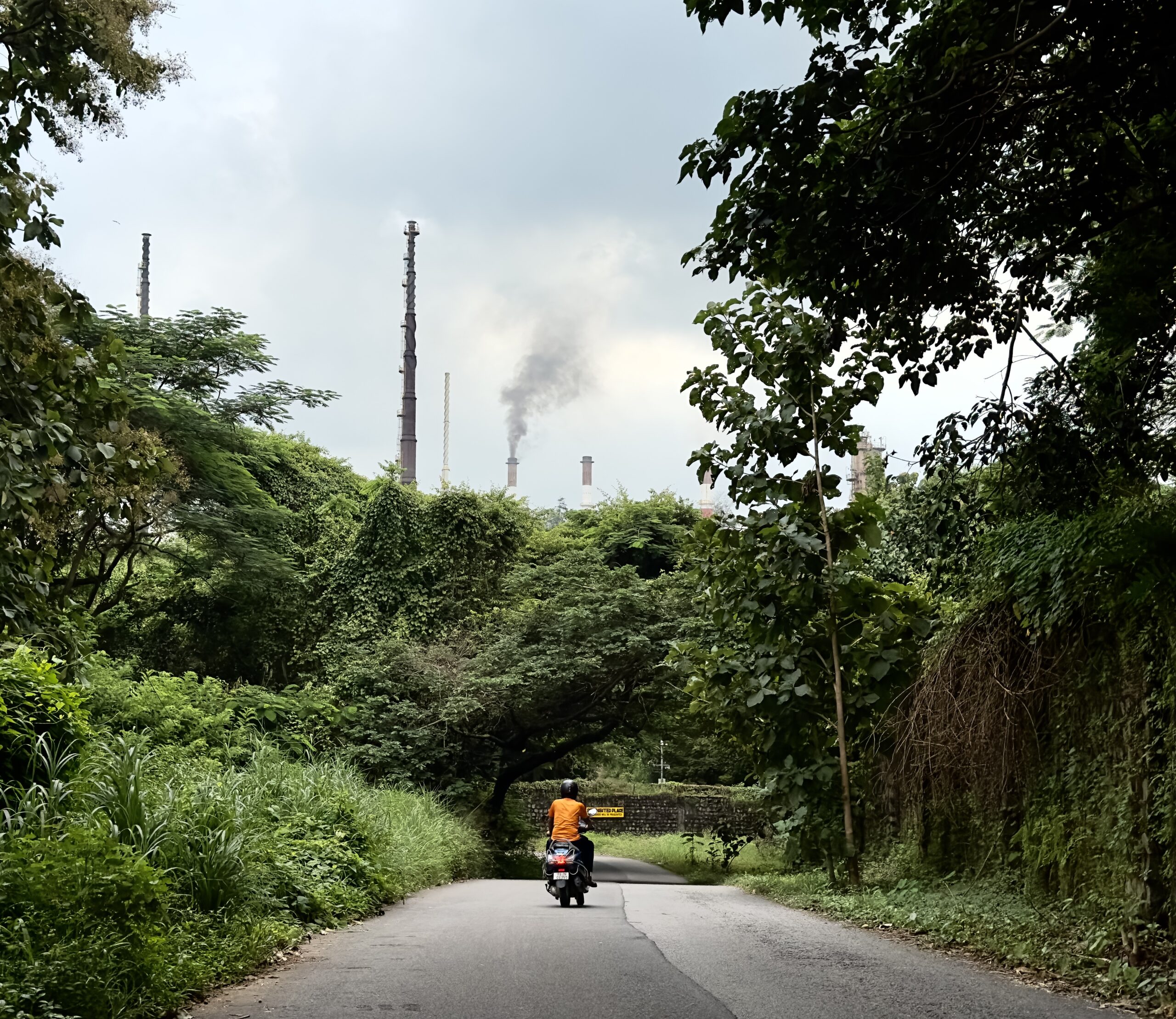
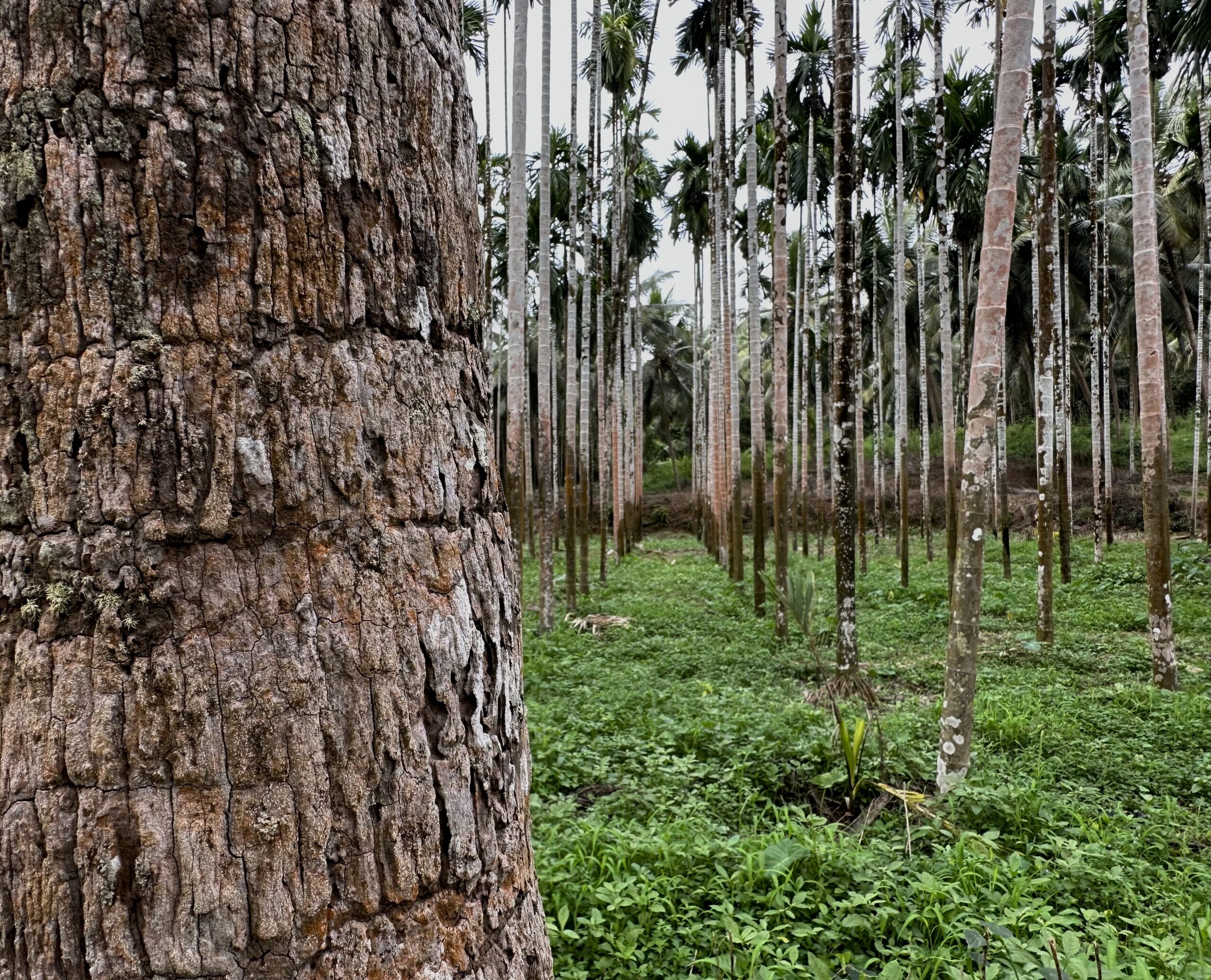
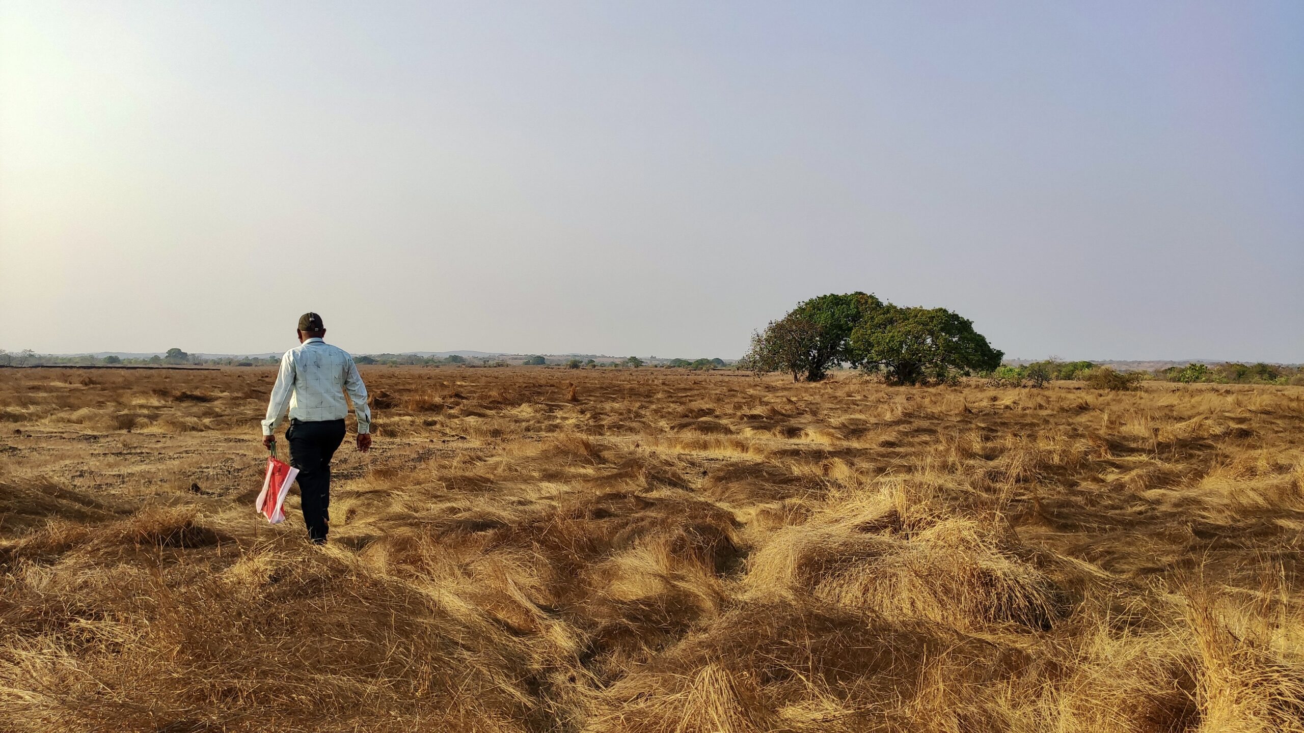
William owns 15 acres of land on which he grows areca nut, coconut and paddy; and he has 20 cows. He took us out to show his fields, and the once deceptive appearance of lush greenery unveiled a harsh reality. We could now see the scorched leaves and dying stems of coconut trees. Areca nuts were scattered on the ground, this premature damage William explained is happening because of the air pollution caused by MRPL. The leaves and the fruits of wild forest trees were visibly coated with black soot.
“Despite the forest cover, can you believe, in one of the reports, MRPL had mentioned that this is a dry and barren land. That made us furious and we fought hard against land acquisition to protect our land”, said William.
According to one local activist, this classification was based on the fact that if land does not come under the purview of government irrigation projects then it is termed as dry land.
In 2011, William was one of the main leaders who played a pivotal role to resist the second phase of the land acquisition against MRPL which was later withdrawn. Again in 2014, 960 acres were notified for MRPL expansion in Kuthethur and Permude village, however, this time William’s land was deliberately kept out of the list. Along with William, the land of other key protestors from Kuthethur and Permude village was not notified to ensure that there is smooth transition to the land acquisition process.
Despite these strategic measures, the fourth phase of land acquisition for MRPL is still in limbo.
I was surprised while listening to William, and instantly it rang a bell.
In the Konkan belt, to the north of Mangalore, the laterite plateaus or rocky outcrops have been categorised as ‘wastelands’. The vast tracts of this ‘wasteland’ is proposed for Ratnagiri Refinery and Petrochemicals Limited (RRPCL).
Ratnagiri Refinery and case of land acquisition
In April 2023 the visuals of women protesting against the soil testing at Barsu, district Ratnagiri appeared in the media. The Maharashtra government had deployed heavy police force in Rajapur taluka, local activists were arrested, and section 144 was imposed to stop locals from protesting. The government is actively geared towards making RRPCL a reality in spite of community’s resistance.
The RRPCL project was first announced in 2015 as a joint venture between three Indian public sector oil refiners: Indian Oil Corporation Limited, Bharat Petroluem Corporation Limited and Hindustan Petroleum Corporation Limited. In 2018, a memorandum of understanding (MoU) was signed with two foreign oil companies- Saudi Aramco and Abu Dhabi National Oil Company who intend to be part of the project.
RRPCL was planned over 15,000 acres of land across 17 villages in Ratnagiri and Sindhudurg district.The main refinery plant was planned in Nanar village, however, due to the stiff resistance from locals over land acquisition the project was denotified at Nanar in 2019 and shifted 20 km away to Barsu-Solegoan.
The landscape of Nanar closely resembles that of Barsu-Solegaon. The laterite plateaus that blanket this region are no different in Barsu. So, the issues that concerned local alphonso and cashew farmers in Nanar regarding RRPCL remain identical. The voices for resistance have not changed either. However, over the years the government’s shrewd strategies to discredit the grassroots resistance movement against big infrastructure projects in the region has evolved. Those opposing the RRPCL were labeled as anti-national recently.
Perhaps, the government and its institutions who still adhere to the colonial notion that ‘laterite plateaus are a wasteland’ and are fighting to grab it for RRPCL could make efforts to understand the unique diversity of the Indian landscape.
‘Wastelands’- a colonial legacy
As per the Wastelands Atlas of India released in 2019, the total wasteland area in India is 5,57,665.51 sq.km (almost 17% of total geographical area). This activity of mapping the wastelands, is to reclaim the unproductive land for infrastructural and industrial development, agricultural production, etc.
Under the wastelands classification system, the unproductive land is categorised into waterlogged and marshy land, land with scrubs, deserts, grazing land, sand dunes, plateaus, land under glaciers, etc. However, this classification system lacks logic. It views all these landforms merely as a wasteland without considering how they are the source of our greatest rivers, recharge groundwater, provide livelihood to pastoralists and support livestock, and is a home to unique set of flora and fauna, as Abi Vanak and Kalyan Verma wrote in the journal Current Conservation.
The notion of categorising land as ‘productive’ or ‘unproductive’ traces back to British colonialism, which also disregarded the Indigenous peoples’ connection with their land.
In 1680, John Locke coined the term ‘wasteland’ in the labour theory of property to denote the land that is not privately owned, or left unused. The idea of wasteland was systematically applied in the British colonies as a means to seize control of the land through privatisation to increase agricultural productivity and trade to benefit England.
However, angrez to chale gaye lekin idea of Wastelands chod gaye.
With this idea, the National Wastelands Development Board was formed in the 1990s. Currently, the Department of Land Resources in collaboration with the National Remote Sensing Centre under the Ministry of Rural Development is tasked to publish the Wasteland Atlas of India. This document serves as an important source of information for planning developmental activities.
“Availability of wastelands is one of the parameters for the planning of programmes under the Green India Mission (MoEF 2015), Watershed development (MoEF 2015) and is also consulted in the preparation of Environmental Impact Assessments/Environmental Management Plans (EIA/EMP) for developments projects under EIA notification of 2006”, writes Aparna Watve, Coordinator, the IUCN SSC Western Ghats Plant Specialist Group, and part of the Rock Outcrops of India, in the Economic and Political Weekly.
Laterite Plateaus for RRPCL
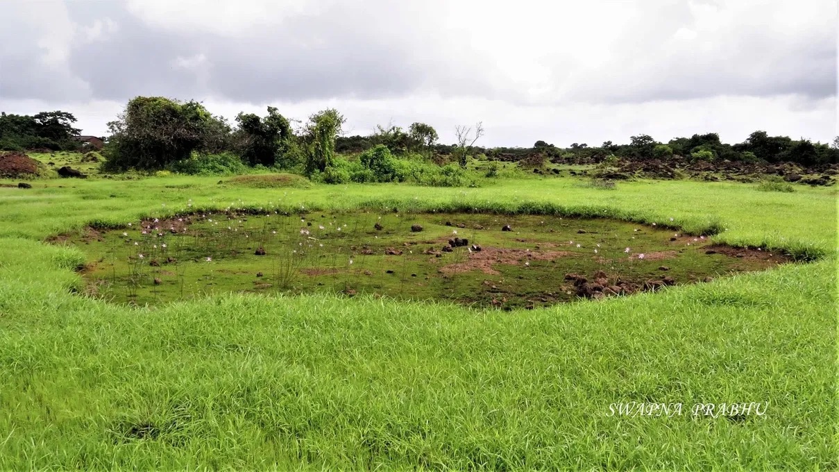
In the Wastelands Atlas of India, the laterite plateaus are categorised either as ‘barren rocky area’ or ‘land with dense/open scrub’ in case there is woody vegetation present. In 2008-2009, the Wasteland Atlas recorded 60.36 sq.km of rocky barren area in district Ratnagiri and change in its use was negligible by 2015-2016 when the total documented area was 60.13 sq.km.
Locally, in Marathi and Konkani, the laterite plateaus are referred as ‘Sada’. “Another meaning ascribed to Sada is ‘single’ or ‘bachelor man’ in Konkani”, said Aparna Watve.
The Rock Outcrops of India is dedicated for the conservation of plateaus, and Aparna Watve along with other members have documented the various plant and animal species that are found on Sadas during monsoon.
The laterite plateaus are not devoid of life. It is a biodiversity hotspot that supports flora and fauna, and local communities inhabiting around it, during monsoon and post-monsoon as well. Diverting this land towards RRPCL would potentially convert it into a ‘wasteland’ of toxic petrochemicals like we witness in William’s farm, and other refinery and petrochemical hubs that have polluted the water bodies, soil and atmosphere.
Placing John Locke’s definition of wasteland in context of laterite plateaus, it is not a ‘common land’ but private property of the local residents; it is not ‘neglected’ or ‘unproductive’ because locals cultivate and use this land for multiple purposes. However, it is a land that is ‘wholly left to nature’, as defined by Locke, that does not provide huge economic benefits to the State and its capitalistic apparatus.
The villages such as Barsu, Solgaon Goval, Ambolgad, Devache Gothane, Shivane Khurd and others which would be impacted by the RRPCL project are dependent on these plateaus for food and water. The rainwater percolates into the porous rocks which recharge the aquifers that provide drinking water to these villages that are sitting at the base of these plateaus. There is a potential risk of toxic chemical effluent discharge into the groundwater if RRPCL is constructed on this plateau.
In addition to cultivating rice and pulses on the plateau and harvesting fish and crabs in rock pools and freshwater streams on the Sada, the local communities collect endemic flowers such as Senecio and Utricularia for Matvi, an eco-cultural tradition practised in Ratnagiri during the Ganesh Chathurthi. The folk practice which Locke and his successors would have considered irrelevant for economic growth.
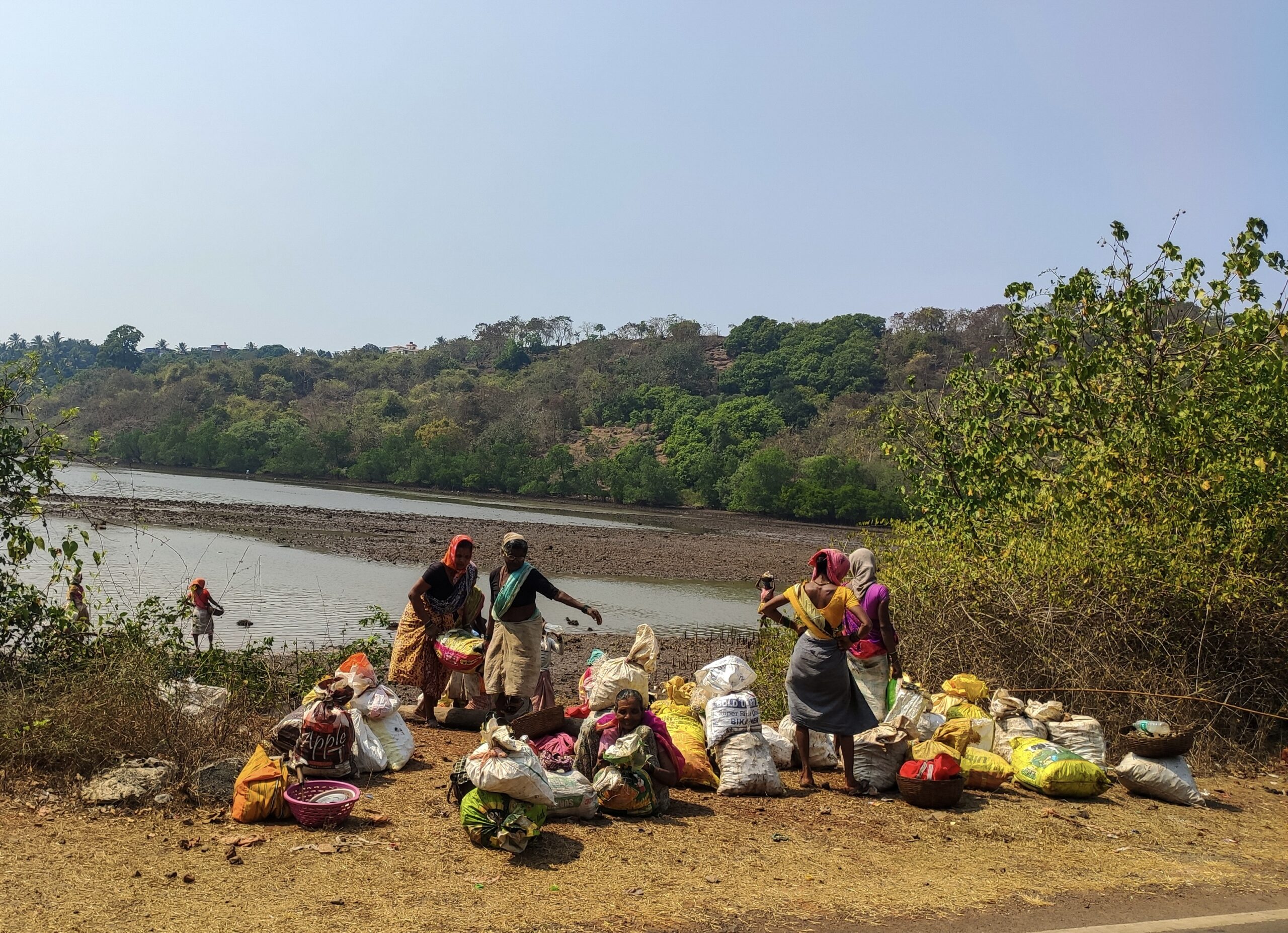
These laterite plateaus are not only home to flora and fauna, but, the local goat herders from the Dhangar tribe inhabit these plateaus for livestock grazing. Moreover, the 30,000 year old prehistoric petroglyphs, the art forms engraved on laterite rocks are proof that history of civilization and traditions on it predates British colonialism. Contrary to being a barren land, this land holds significance to its people and therefore, they have successfully resisted attempts to steal it from them.
Aparna Watve et al called for the change in Wasteland Atlas and wrote. “The fundamental changes in these classification of Indian lands is urgently needed to divest from the colonial premise of revenue generation and crop productivity as the only productive uses of land. It will ensure that the deprecatory view of Indian lands as ‘waste’ and associated land uses as ‘wasteful’ is buried once and for all”.
Centre for Financial Accountability is now on Telegram and WhatsApp. Click here to join our Telegram channel and click here to join our WhatsApp channel and stay tuned to the latest updates and insights on the economy and finance.